Location and movement
Satellite coordinates build the track of the trip and tie every other reading to the same voyage.

Available now
Smarter fishing. Connected operations. Better market decisions.
Hardware on the vessel, the record of the trip, and the seafood market, brought into one system.
Once a vessel leaves the harbour, the owner often loses sight of the trip. The landing, the grade, and the price then sit in a separate set of books.
BlueHarvest joins those two sides. The hardware records the voyage. The market record picks up the same catch after it is landed.
From the first voyage position to the final seafood transaction, we aim to make every stage more connected, measurable, and accountable.
The voyage
A trip is more than the harbour, the ground, and the return. Weather, water, and the work on deck all belong in the same record.
Weather, ocean information, and earlier trips can be reviewed before the vessel leaves.
The system records where the vessel goes. Fitted sensors can add air temperature, humidity, and wind.
Fishing events are stored with a place and a time, so a later trip can be compared with the conditions and the catch.
On landing, the voyage can be tied to species, quantity, grade, and the sale.
The hardware
A vessel-mounted hardware platform collects the trip, organises it, and keeps it ready to review.
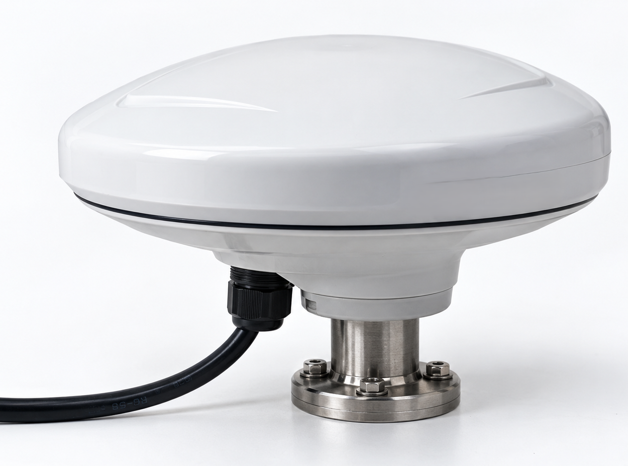
Satellite coordinates build the track of the trip and tie every other reading to the same voyage.
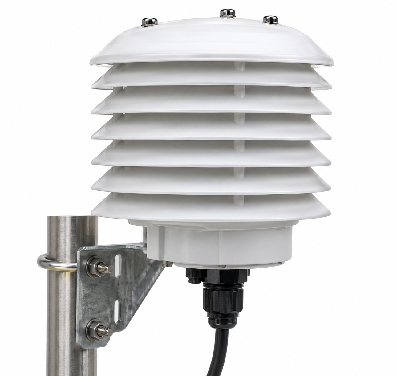
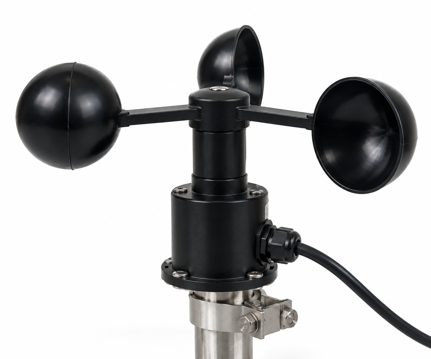
Where sensors are fitted, the record includes air temperature, humidity, and wind, read alongside the forecast.
Water temperature, currents, sea-surface conditions, and depth may come from the vessel or from satellite and forecast sources. A reading taken on board stays separate from outside data.
Departure, movement, fishing, and the return are stored with a time and a position.
A camera can add context on deck or at landing. Computer vision is a separate workstream and depends on the final hardware and on software checks.
The edge controller timestamps each reading, holds it on the vessel when coverage drops, and sends it when a connection returns.
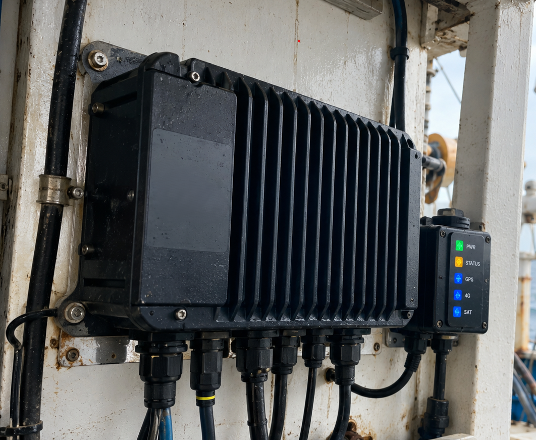
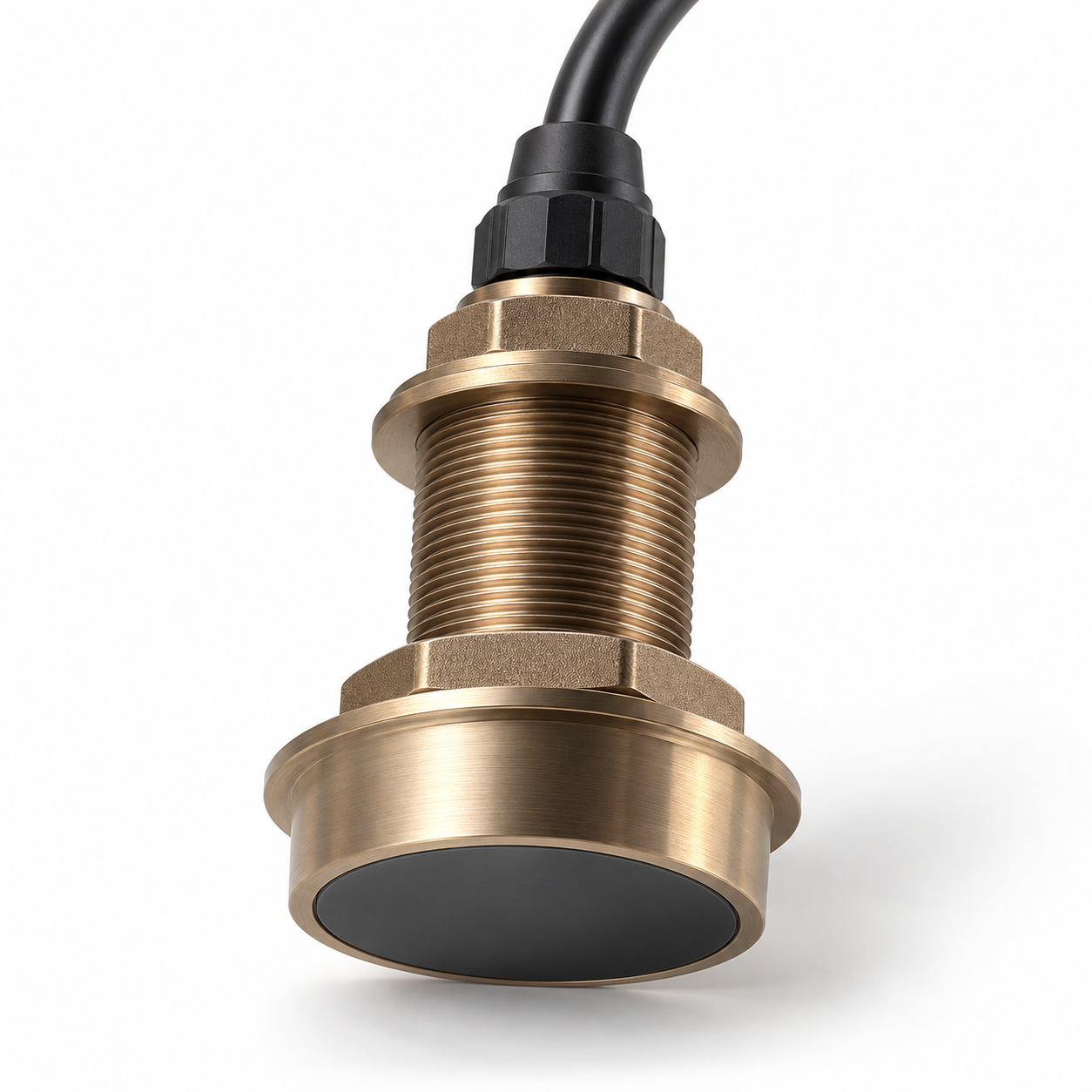
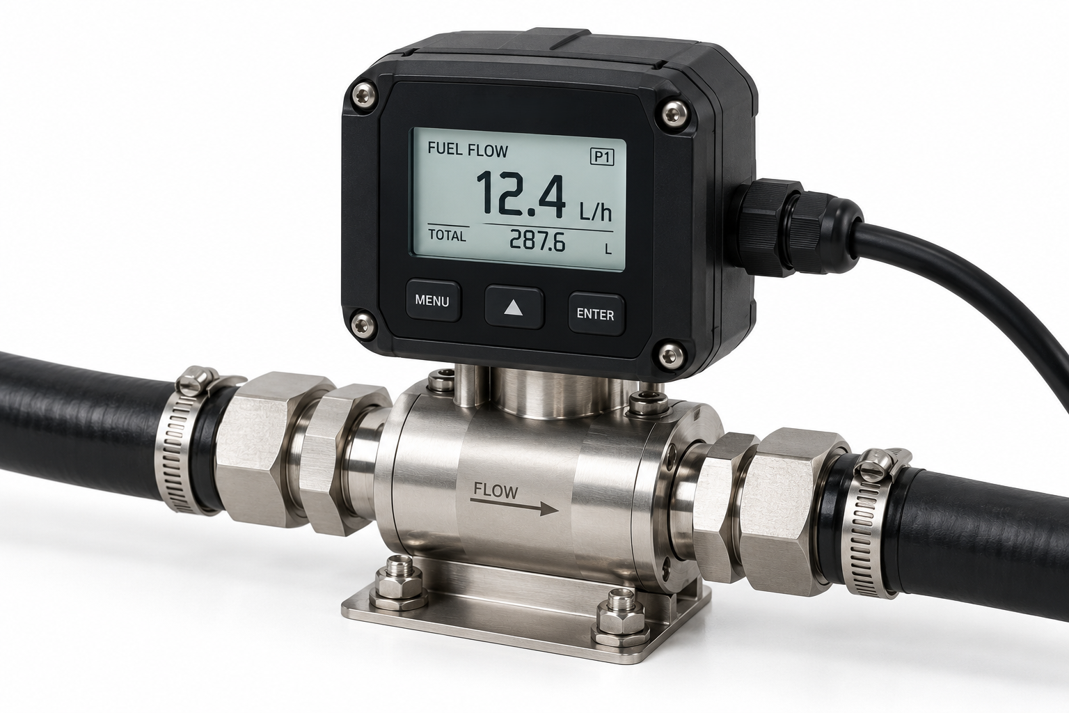
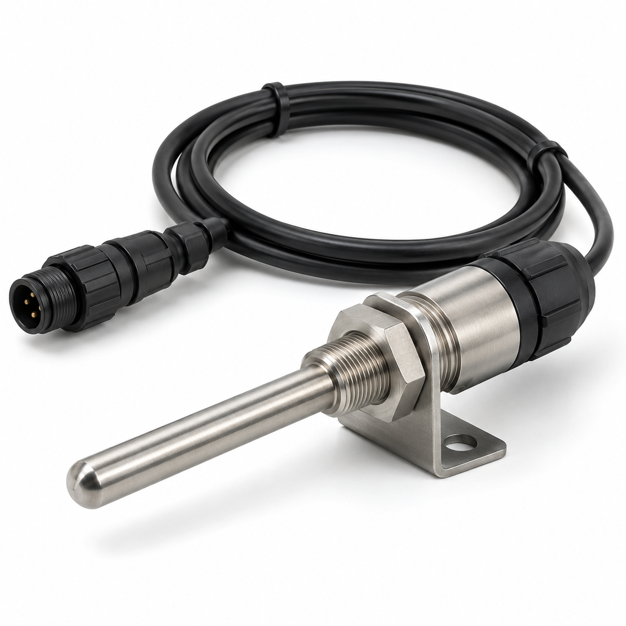
A marine enclosure that collects sensor, GPS, and camera readings, stores them on board, and sends them when a connection is available.
Lights for power, connectivity, and faults, so the crew can see whether the equipment is working.
Position, speed, course, and the route of the trip.
Air temperature and humidity around the vessel during the trip.
Wind speed, and wind direction where a compatible sensor is fitted.
Sealed cables between the controller, the sensors, the antennas, and the vessel’s power.
Corrosion-resistant mounts for antennas, weather sensors, and cameras.
An onboard screen for position, the route, readings, and alerts.
A marine camera on the deck, the net area, or the landing point. The footage may later support computer vision.
Water depth under the hull, stored with the vessel’s position.
Diesel used on the trip, from a compatible flow sensor or engine interface.
Temperature in the hold, with an alert when a reading leaves the set range.
A link to compatible sonar or fish-finder equipment, stored with position and conditions where the instrument allows it.
Authorised crew record species, quantity, weight, place, and time. Those notes can later meet the landing and the sale.
RPM, hours, and available diagnostics from a compatible engine interface, read next to fuel use and the route.
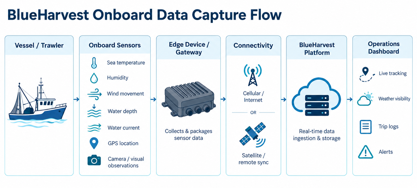
GPS position, speed, movement, routes, and digital trip records.
Atmospheric conditions, wind, water depth, and integrated sonar information.
Fuel consumption, engine performance, and fishing activity monitoring.
Camera-based observation, device status, and configured operational alerts.
Fish-hold temperature monitoring and digital catch records.
Vessel records brought together with satellite information, historical catch data, and seafood market activity.
Connected intelligence
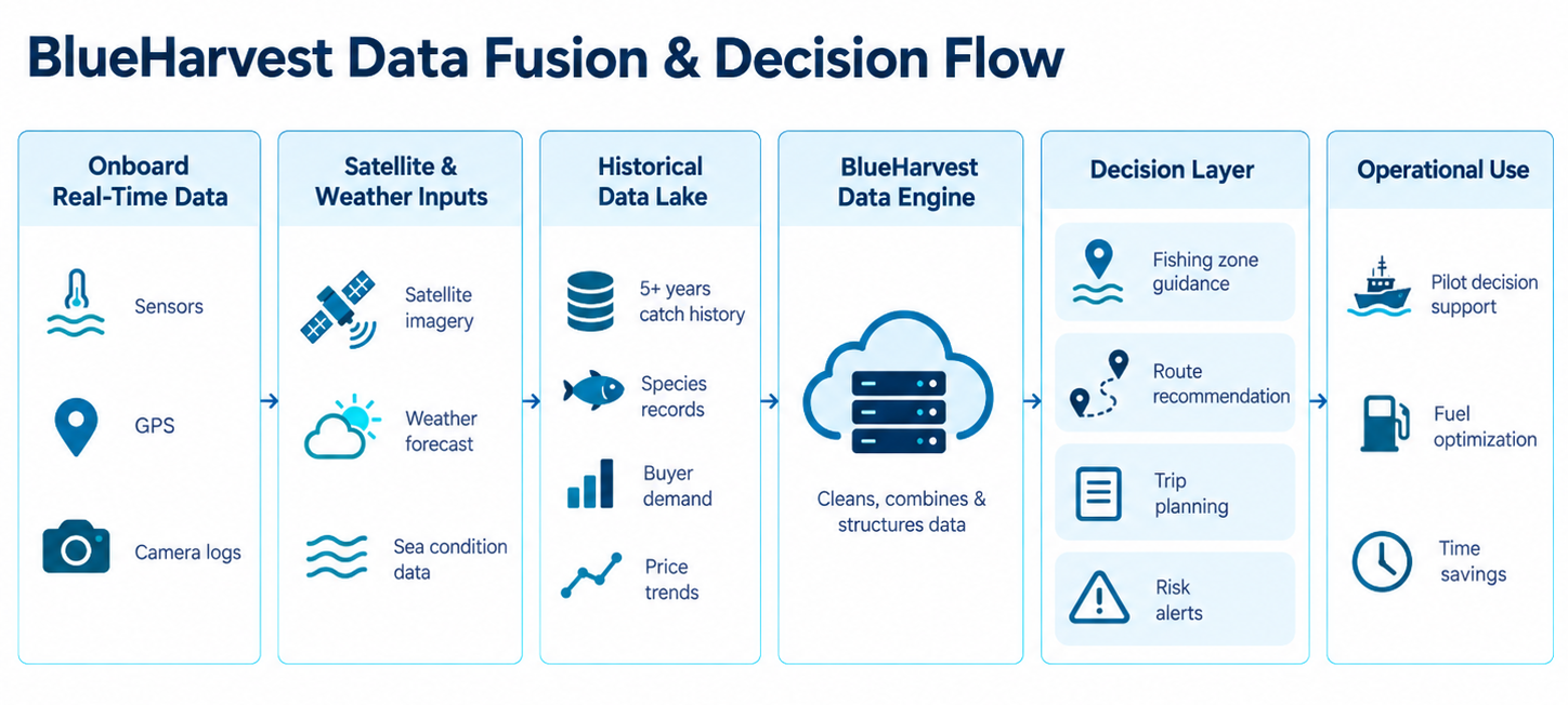
A position says where the vessel went. A weather reading says what the air was doing. A catch note says what came ashore. The useful picture is those three, read together.
Coordinates, movement, time, sensor readings, and fishing events: what happened on the trip, and where.
Sea-surface temperature, ocean colour, water movement, and weather, matched to the vessel’s place and time. This is context. It does not mean fish will be there.
About five years of fishing and commercial records, once they have been checked: places, species, quantities, and season. A pattern has to be tested before it can guide a recommendation.
Demand, incoming supply, grade, storage, and price decide what the trip is worth after the fish is ashore.
Decision support
The sea, the rules, fuel, and the crew still decide the trip. The system informs that judgement. It does not replace it.
Past grounds, conditions, and marine data are being studied for advisory notes on where to fish. The licensed operator decides, within the rules and the weather.
The voyage record can show extra miles and time spent searching. Any saving on fuel has to be shown on the vessel itself.
An owner can see where the vessel went, how long each activity took, and how this trip compares with earlier ones.
The record can show designated and restricted areas, and it can support later notes on bycatch. It does not replace statutory monitoring.
The record
The trip at sea and the sale ashore should be one story.
Trip notes, the landing book, the grade, and the sale often live apart. BlueHarvest ties them to one voyage, from departure through storage and dispatch.
From catch to commerce
After the vessel returns, the catch is graded, traded, stored, and dispatched.
Species, weight, quantity, and the source vessel are written against the trip as the catch comes ashore.
Grading uses inspection and a set procedure. Computer vision for species, size, and freshness is a separate workstream, and it needs training and a shared standard. Formalin, heavy metals, and other chemical checks need a validated test. A photograph cannot establish them.
After grading, the lot can be shown to buyers, including buyers who are not on the floor.
Cold storage can hold fish that is not sold at once. That storage stays tied to the sale and the dispatch.
The intelligence layer
Each trip, landing, and sale adds a result. Models built on those records are still being developed.
Place, season, conditions, and past catch, as advisory guidance on where to look. Not a promise of fish.
Trip length, route, and result, compared once enough voyages have been checked.
Which species show up, by season and by stretch of coast.
Supply, demand, grade, and price, toward later guidance on when and where to sell.
Who it is for
Built for the people who run the boats and the trade.
Where the vessel went, what was recorded, and how the trip ran.
Weather, ocean context, and earlier trips, for planning the next one.
Species, grade, quantity, and a chance to buy.
A path from the vessel to a documented grade and a named source.
Clearer trip records for later research and for responsible fishing, where permission allows.
How we build
Hardware, software, and the market are one system. Predictive tools move only after the records and the sea trials support them.
A connected future
Owners, pilots, traders, and buyers have long worked from separate notes. BlueHarvest joins the voyage, the grade, and the sale.
The aim is a clearer trip, a more transparent market, and a more careful use of the fishery.
The vessel, the grade, and the sale.